Weather Observation
Camera imagery provides visual context for atmospheric conditions and changing visibility at each observing site.

A growing atmospheric imaging network supporting weather observation, visibility research, field campaigns, and camera-based environmental monitoring.
The Weather Cameras Database is an evolving resource developed at the University of North Dakota. It provides centralized access to imagery from a network of atmospheric cameras deployed at UND and regional observing sites. The cameras provide visual information about sky conditions, visibility, fog, haze, precipitation, and other weather phenomena that may be difficult to characterize using conventional observations alone.
Camera imagery provides visual context for atmospheric conditions and changing visibility at each observing site.
Continuous imagery supports research on fog, low visibility, haze, cloud evolution, and other visibility-reducing weather.
Camera observations can be paired with meteorological measurements and used in image-processing, machine-learning, and atmospheric research workflows.
The network includes several camera systems deployed at UND and regional atmospheric observing locations.
East-, west-, and southwest-facing sky cameras provide views from the Clifford Hall roof on the UND campus.
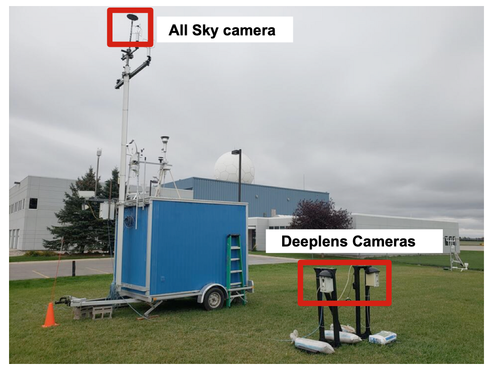
The Deeplens camera is associated with the Meteorological Observational Trailer and provides continuous imagery from the MetTrailer deployment site.
A Raspberry Pi camera deployed at Gorman Field provides visual observations from the UND UAS test environment near Emerado, North Dakota.
TIMMS camera systems provide additional observations from sites including UND Clifford Hall and the Glacial Ridge atmospheric field site.
The camera network is designed to complement traditional meteorological observations with continuous visual information. Each image provides a time-stamped view of atmospheric conditions at a specific location.
Development of the camera database began in 2021 as part of broader efforts to improve fog detection, support atmospheric field campaigns, and provide supplemental observations for weather and visibility research. Continuous sky and horizon imagery provides an additional observational perspective for studying visibility-reducing conditions such as fog, haze, and precipitation.